Where to Go Badger Creek – Below Ute Trail
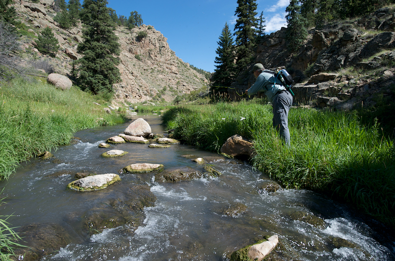
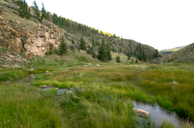
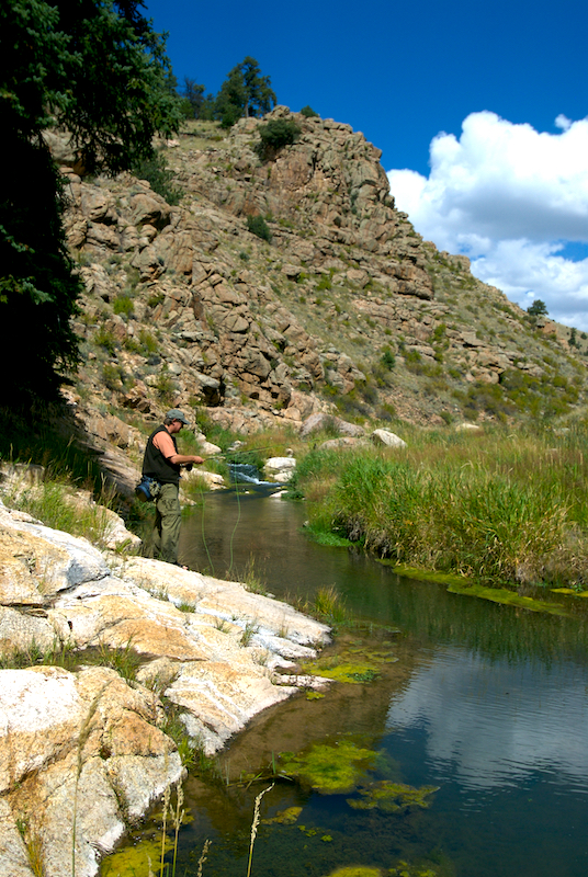
Badger Creek flows year-round through a mountain valley in the Arkansas river drainage. It is wide, deep, and the area is substantially forested. It is also one of the few primarily spring-fed streams in the region. This allows for year-round fishing. It is very susceptible to spring run-off and quickly muddies after heavy rain storms. Extensive meadows, interspersed with patches of forest, cover the valley's upland shoulders in many places.
Accessibility: One hour travel off CO Hwy 9 on a well maintained Tallahassee dirt road. Parking is marked off but can be muddy. Trail is mostly along west slope moderately accessible with some bouldering required. Mostly easy hiking.
Elevation: 8,000-9,000 feet
Distance: 110 miles from Colorado Springs / 2.5 hours (1 hour dirt road) Badger Creek is situated near Howard, Colorado, approximately 7 miles east of Salida and 3 miles north of the Arkansas River in Fremont and Chaffee counties.
Season: Fishable after the Spring run off, throughout the Summer, and into early Fall. Winter fishing is available with open water below springs for approximately a mile.
Fly patterns: Hopper patterns, Elk Hair Caddis, Amy’s Ant, Yellow Humpies, Beadhead droppers.
Fish Species: Brown Trout
Fishing Regulations: Standard Colorado
Techniques & Tips: Fishing starts approximately 1/4 mile below the natural spring after spring water has had a chance to oxygenate. The spring is approximately 1/4 from parking area. The first upper pools hold larger trout but they are very spooky because they see more anglers. It is best to hike down to the first meadow and then fish up stream. Hiking beyond the first meadow to the next canyon also fishes well approximately 3 miles down from the parking lot. Dry fly fishing most of the year with dropper rigs working better in the winter.
Camping: Is allowed
Kids: Yes, but younger kids will have a harder time on the trail. Several stream crossings are required
Additional Information: There is a variety of wildlife in the area. Keep an eye out for Bighorn Sheep as there is a very nice herd in area. Mountain lions and black bear have also been sighted in the area. Also, because this is a longer hike and more remote area, we recommend good hiking boots, carrying water/good filter and a first aid kit.
This is an open range area and cattle are often present.
Directions - 80.5 Miles - 2 Hours 7 Minutes
- Take US-24 W/W Hwy 24, Teller County Rd 1 and Co Rd 102 to Co Rd 88 in Park County
- Follow Co Rd 88 to Co Rd 2 in Fremont County